Search


To sky-high peaks,
through mountain villages


Mt.Tsurugi info

Months: From mid-April to end of November *Schedule subject to change due to weather conditions, etc.
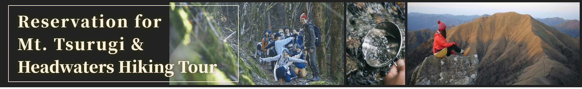
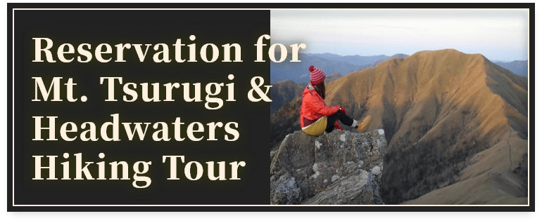
Discover the hidden secrets of the mountains, the local history and culture. Enjoy hiking Mt. Tsurugi with an expert mountain guide!
Guides speak Japanese and simple English.
Months: From mid-April to end of November *Schedule subject to change due to weather conditions, etc.
Discover the hidden secrets of the mountains, the local history and culture. Enjoy hiking Mt. Tsurugi with an expert mountain guide!
Guides speak Japanese and simple English.
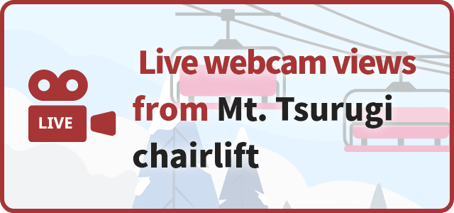
* Live webcam views are available from 9:00 AM to 4:30 PM. Night views are not available to save electricity.
* Web camera is set at Nishijima lift station of Mt. Tsurugi chairlift. Views are available only during operation of the chairlift.
* No views are available during chairlift closure (from December to March).
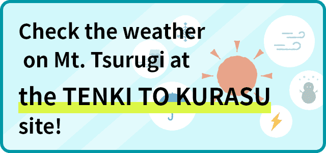
*This site is in Japanese. Please use the translation function while viewing the site.


About
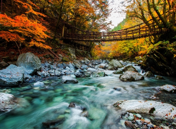
Mt. Tsurugi
Mt. Tsurugi is the second highest mountain in Western Japan (1955 m / 6414 ft), and Minokoshi, the trailhead, has an elevation of 1400 m /4659 ft. Mt. Tsurugi has been selected as one of the Hundred Mountains of Japan, and its beauty is truly unique to western Japan, featuring ecological systems found only in Shikoku. In 1964, it was also named a Quasi-national Park.
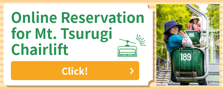
Mt. Tsurugi features a chairlift open from Golden Week (around April 29 – May 5) until November. The lift offers casual hikers and pros alike a chance to pause and relax while taking in the beautiful views surrounding them.
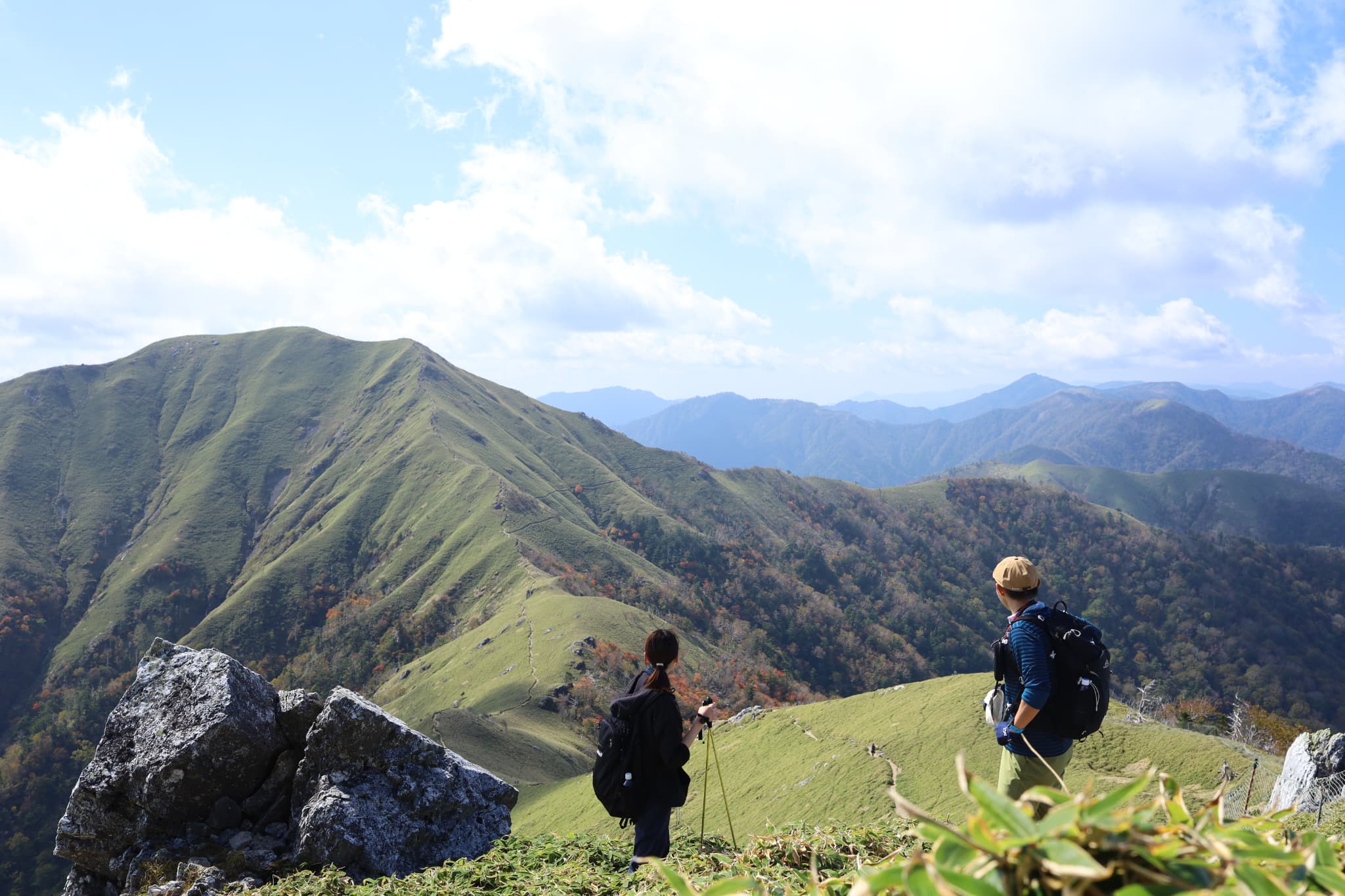
Mountain range leading to Mt.Jirogyu
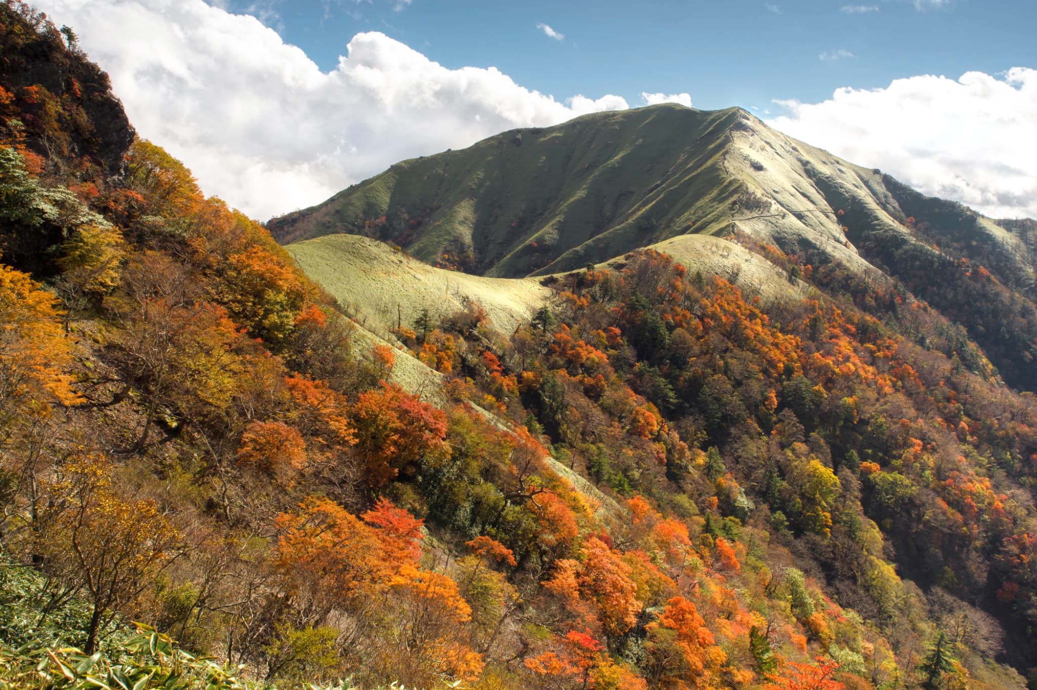
Season for autumn foliage (early to mid-October)
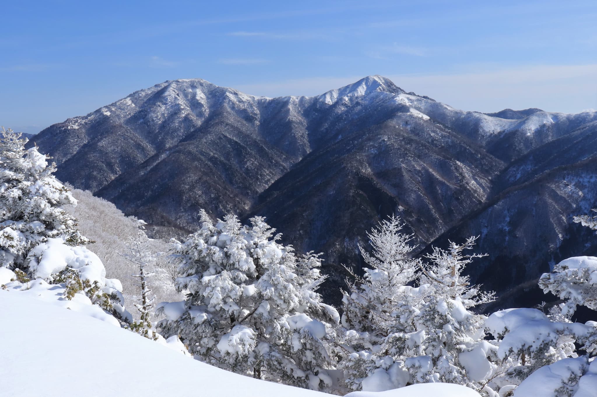
Frosty white mountains and icy peaks; like stepping into a fantasy
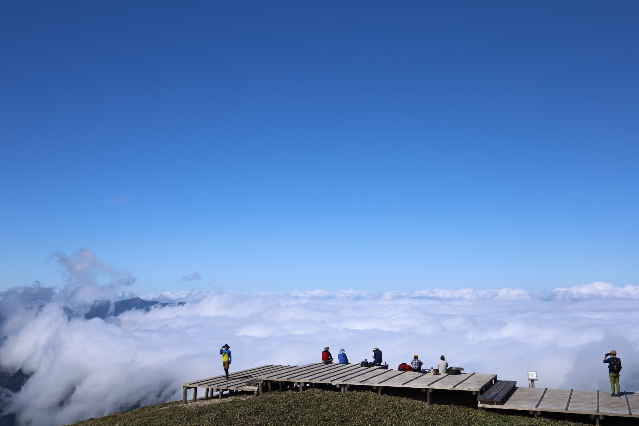
Mountaintop sunrise and the shimmering sea of clouds
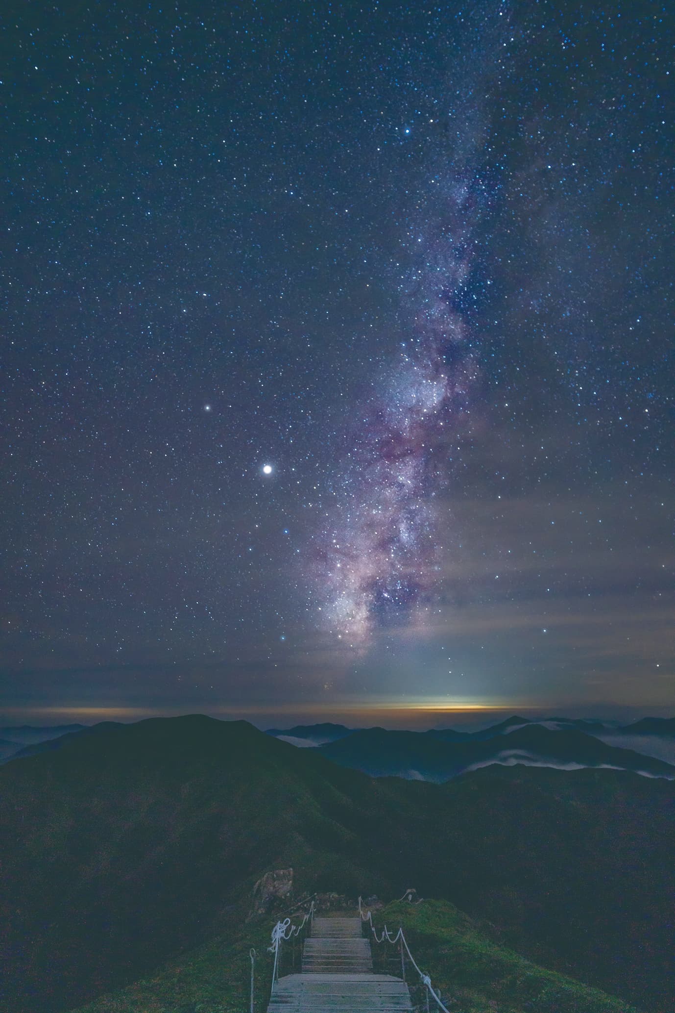
The pure, unclouded skies of the countryside reveal the radiance of the stars

Climbing Mt. Tsurugi


Climbing Map of
Mt. Tsurugi
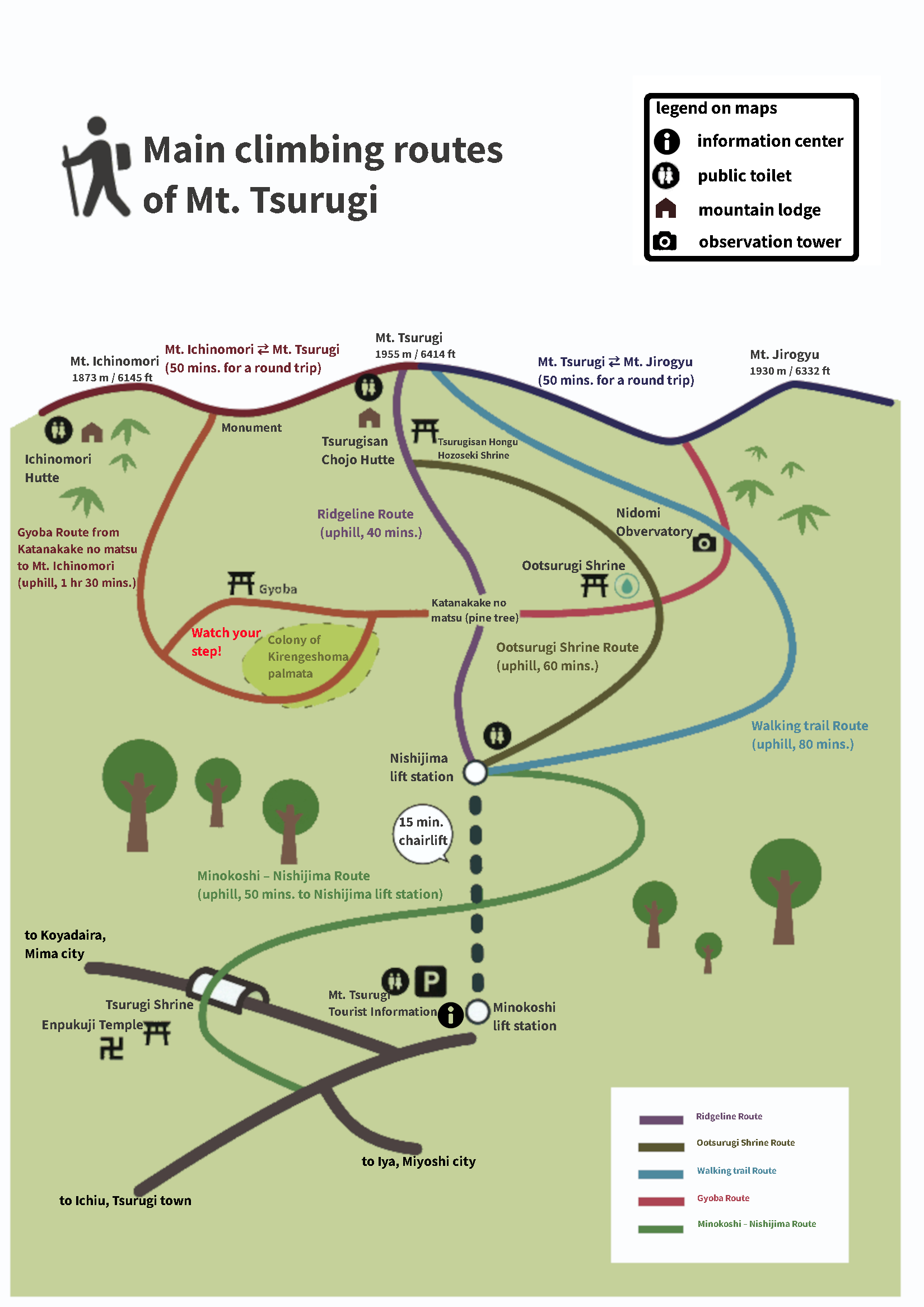
*provided by Tsurugisan Chojo Hutte
Routes from Nishijima lift station to the top of Mt. Tsurugi
*Please check route details on Climbing Map of Mt. Tsurugi.

Ridgeline Route(about 40 mins.)
This is the shortest route from Nishijima lift station to the top with a distance of 900 m / 0.56 mi. The route is well-maintained and recommended to all age groups.
Ootsurugi Shrine Route(about 60 mins.)
The route has a distance of 1200 m / 0.74 mi to the top via Ootsurugi Shrine. Mt. Tsurugi sacred spring, selected as 100 Pure Waters of Japan, is also located near this route.
Walking Trail Route (about 80 mins.)
Take your time and enjoy the nature of Mt. Tsurugi as you hike to the top. Walking distance is 1980 m / 1.2 mi. At Nidomi observatory on a clear day, a spectacular view of Mt. Tsurugi and Mt. Jirogyu together awaits.
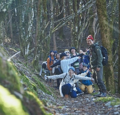
Double your enjoyment of Mt. Tsurugi with a super guide!
Venture into the mountains with confidence, learning about the secrets and culture of the land from a mountain pro.

Keep in mind
Be prepared!
- Bring rainwear and warm clothes with you. The weather can change suddenly in the mountains.
- Wear appropriate hiking shoes. Sneakers with flat soles are not recommended as the ground can be unstable and slippery at points.
- Water bottles Hydration is important for an enjoyable climb.
-
“Leave early, arrive early”:
Plan ahead to have a relaxed schedule The mountain can be dangerous after sunset,
and you may get lost. - Share your climbing plan with
your family and friends. - Submit your mountain climbing registration
form to the local police, just in case. - Buy mountaineering insurance covering
mountain accidents. - Use restrooms before you start climbing.
Rules for hikers and climbers
- To protect the ecological system,
please don’t disturb the plants or animals. - Stay on the designated route. Deviating may
damage the surrounding nature. - Do not litter. Leaving food and garbage
negatively impacts the ecological system. - Fires must be attended at all times.
- “Up first” policy – when navigating narrow
trails, let the climbers going up go first. - A friendly “hi” to other climbers creates
a positive hiking atmopshere. - Avoid blocking the trails
when you take a break.

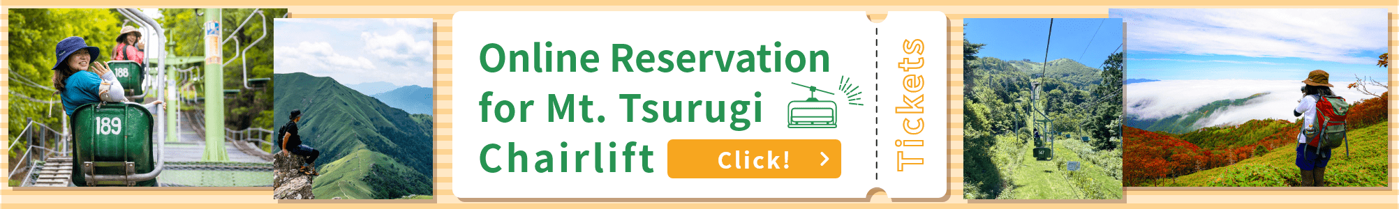
Chairlift Information


| Months | Operation Interval Mid-April to end of November (*Schedule subject to change due to weather conditions, etc. ) |
|---|---|
| Hours | Off-season: from 9:00 AM to 4:30 PM Golden Week (around April 29 – May 5), August, and holidays & weekends in October: from 8:00 AM to 4:30 PM |
| Prices |
[Adult] 1,900 JPY (round trip) / 1,050 JPY (one way) [Child (Age 6-15)] 900 JPY (round trip) / 520 JPY (one way) |
Directions to Mt. Tsurugi


By bus
Take Mt. Tsurugi Tozan Bus (operated seasonally) from nearby JR stations.


By car


Standard Routes
via Sadamitsu & Ichiu
Get off at Mima Interchange on Tokushima Expressway. About 90 min. drive via Route 438.
via Anabuki & Koyadaira
Get off at Anabuki Interchange on Tokushima Expressway. About 100 min. drive via Route 492.
via Ikeda & Higashi-Iya
Get off at Ikawa-Ikeda Interchange on Tokushima Expressway. About 120 min. drive via Route 32.
Traffic Control Information
Roads to Mt. Tsurugi are narrow and temporarily closed due to road constructions.
-
Traffic Control Information - Tokushima Prefecture
https://bousai.pref.tokushima.lg.jp/map/
 *In the Language tab, select “English” to view. May take some time to be translated
-
Contacts
West Tokushima General Prefectural Bureau (Mima Office)
seibu_c_my@pref.tokushima.jp
Parking Lots


1st Parking Lot

1 min. walk to Minokoshi lift station of Mt. Tsurugi Chairlift (5 m / 16 ft).
2nd Parking Lot
15 min. walk to Minokoshi lift station of Mt. Tsurugi Chairlift (1.5 km / 0.9 mi).
3rd Parking Lot
29 min. walk to Minokoshi lift station of Mt. Tsurugi Chairlift (2.2 km / 1.4 mi).
(New) Parking Lot
1 min. walk to Minokoshi lift station of Mt. Tsurugi Chairlift (170 m/0.1 mi).
Precautions for drivers
- Roads are very narrow, so please drive carefully. Route 438 is a narrow, 1-car lane road that continues for quite a distance. Be aware that sometimes there are no spaces to let other cars pass.
- Prepare well for winter roads. Snowfall is heavy in mountainous areas in Tokushima Pref. In winter, 4WD vehicles with studless tires are a must for visitors as there are many sharp curves and the road is covered in wet snow. [Road closures in winter] Sadamitsu – Ichiu route: Closed during night time from late Dec. to Mar. 31 (Open between 8:00 AM and 6:00 PM). Anabuki – Koyadaira route: Closed all day from late Dec. to Mar. 31. Sadamitsu – Ichiu route: Closed all day from early Jan. to Mar. 31.
-
No street parking
In high seasons, parking lots near the lift station are very crowded. Please use another parking lot when no space is available.
Street parking is strictly prohibited as it blocks the traffic of public buses and local residents.

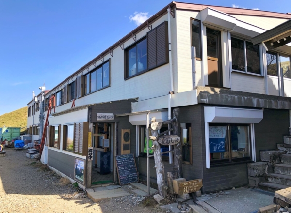
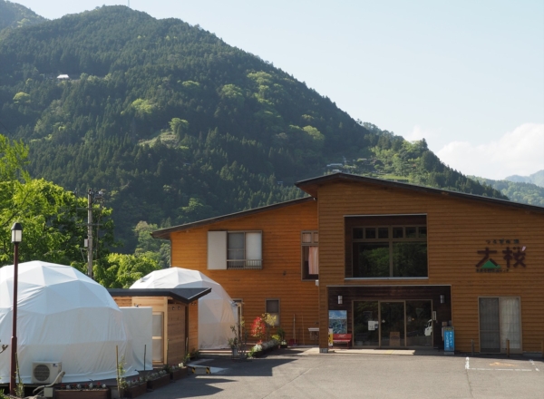
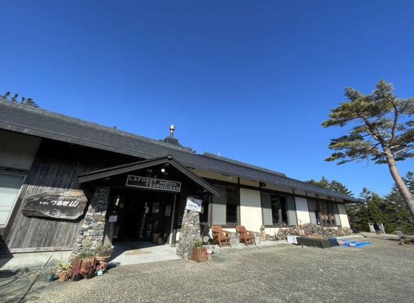
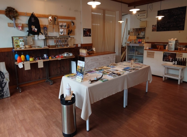
Facilities in the area